Kentner Botanical
SELECTED PROJECT EXPERIENCE
SCE WRC Focused Botanical Surveys, Riverside Co. Lead
botanist for focused surveys for rare plant taxa covered under the Western
Riverside MSHCP at power pole replacement locations
throughout the MSHCP area. Mapped populations of Atriplex
coronata var. notatior, Brodiaea filifolia, Centromadia
pungens subsp. laevis, Deinandra paniculata, and Myosurus
minimus.
SCE Eagle
Mountain-Blythe Wetland Delineation, Riverside Co. Lead
delineator for the mapping of Waters of the State using the CPUC's
MESA delineation guidelines at 228 survey sites located along approximately 50 miles
of transmission line right-of-way.
Camp Pendleton Rare Plant Surveys and
Population Monitoring, San Diego Co. Served as a member of a team of
botanists conducting botanical surveys for Phacelia stellaris and other
coastal dune species such as Acmispon prostratus, Nemacaulis denudata
var. denudata, and Abronia maritima. Located and mapped these
species, and conducted an annual population census for Phacelia stellaris. Collected
field data for a population study of Eryngium pendletonense in coastal
grasslands and mapped this species in addition to populations of other rare
plant taxa such as Atriplex coulteri and Dudleya blochmaniae.
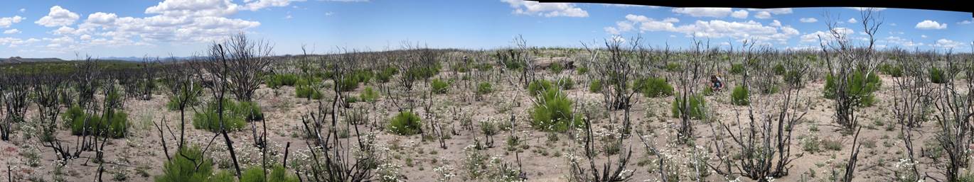
Bright
Star Canyon Wind Energy Project. Kern Co.
8,756
acres. Lead botanist for protocol-level floristic surveys in desert
transitional and montane habitats in the southern Sierra Nevada Mountains.
Managed the GIS mapping of rare plants and invasive weeds using field-collected
GPS data and aerial photographs. Primary author of the technical report
describing the survey results.
Vegetation Thematic Accuracy Assessment for San
Nicholas Island, Ventura Co. Implemented the placement of vegetation plots
by stratified random sampling according to National Park Service protocols. Identified
vegetation communities in approximately 300 plots placed throughout the island.
Analyzed the results using standardized NPS contingency tables. Co-author of report
describing the Accuracy Assessment results.
Vegetation Classification of Camp Pendleton, San
Diego Co. Conducted vegetation surveys throughout the base using
National Parks Service field methods and NPS PLOTS vegetation database. Analyzed
plot data to develop a classification compliant with the National Vegetation Classification
System. Conducted field validation of vegetation polygons mapped by photo interpretation.
Vegetation Classification of Remote Training Site
Warner Springs, San Diego Co. Conducted vegetation surveys throughout the
base using CDFW/CNPS field methods and vegetation database. Analyzed the survey
data to develop an NVCS-compliant vegetation classification
for the base. Completed vegetation mapping using standard GIS software.
Vegetation Classification of Fallbrook Naval Weapons
Station, San Diego Co. Conducted vegetation surveys throughout the
base using National Parks Service field methods and NPS PLOTS vegetation database.
Classified the plots using the keys and membership rules published in the Vegetation
Manual for Western San Diego County.
Vegetation Classification of Orange Co. County
wide. Conducted over 300 vegetation surveys throughout the county using the CNPS/CDFG Vegetation Rapid Assessment survey protocol. Coordinated
with many public and private land managers for access to land and properties. Analyzed
the data and developed the classification of vegetation types for the county.
Meadow Monitoring Research, Sierra de la Laguna,
Baja California Sur, Mexico. Contract botanist for plant identification
within grazing plots for a binational project between the US Forest Service and
the Mexican Comisión Nacional de Áreas
Naturales Protegidas (CONANP)
Forest Ecology Research, , Baja California, Mexico.
Contract botanist for the U.S. Forest Service and a U.C.
Davis graduate student for plant identification in forest ecology plots in the coniferous
forests of the Sierra Juarez and Sierra de San Pedro Mártir
mountains.